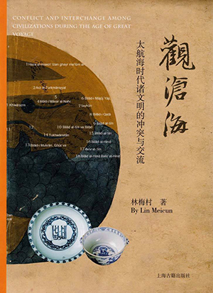
Communication and conflicts among “islands of civilization”

Conflicts and Exchanges among Civilizations during the Age of Great Voyages
Author: Lin Meicun
Publisher: Shanghai Chinese Classics Publishing House
We call the earth a “global village” today because of the close ties established between countries. In ancient times, each was like an isolated “island of civilization” floating in the sea. Though there were also some hairspring-like connections between those “islands” before the Age of Great Navigation, it was not until the arrival of that Age that humans began to realize that oceans are not barriers that isolate the “islands of civilization,” but smooth paths connecting to each other.
Lin Meicun’s Conflicts and Exchanges among Civilizations during the Age of Great Voyages explored the conflicts and exchanges among three major “islands of civilization,” namely, Catholicism in Western Europe, Islam in the Central and West Asia, and the Ming Dynasty of ancient China in East Asia, from archaeological, historical and artistic perspectives.
The book employed rich illustrations, including porcelain, coins, tools, paintings, maps, and architectural landscapes, among which porcelain images take the largest proportion. The Ming and Qing dynasties coincided with the Age of the Great Navigation and thus blue and white porcelain was also the largest export commodity in China at the time.
These porcelain items were unearthed in the Philippines, Syria, Malaysia, Iran, Hong Kong and the Chinese mainland, and preserved in museums, foundations, or private collections in Indonesia, Turkey, the United States, Portugal, China, the United Kingdom, Iran, Greece and Oman. Lin also compares porcelain of the same type but preserved tens of thousands of miles away to demonstrate the traffic routes and historical changes that lie behind the distribution of porcelain.
After the Portuguese dominated the maritime trade between the East and the West, they started customizing porcelain in Jingdezhen, China. The Persians were not only active in the export of blue and white porcelain from Jingdezhen, but also went directly to Jingdezhen to participate in the design of the porcelain. The book staged a 200-year historical drama themed on porcelain and played by the Chinese, the Persians and the Portuguese.
Conventional wisdom holds that the era of the Great Navigation was first opened by Spain and Portugal, and then inherited by the Netherlands and the United Kingdom. Until the 18th and 19th centuries, the entire East was caught in the Western colonial rule. Nevertheless, history is complex and specific, not simple and abstract. In fact, both the Eastern and Western civilizations participated in Great Navigation through conflict and exchanges. The book not only focused on China, Portugal and Iran, but also introduced political powers, ethnic groups and civilizations, such as the Samarkand, Osman and Arab civilizations.
Maps are another important part of the book. We can see maps showing territorial concepts and right of jurisdiction drawn by Chinese people, including Zheng He’s Navigation Map, Map of Land and People in the Western Region, and Mongolian Landscape Map, also Islamic maps, such as Qazvin Round Map of the World, and New Map of China, New Map of East India, and Selden Map of China drawn by Western scholars as well.
(edited by SUI JINGJING)
