Ancient Persian documents support China in sea disputes
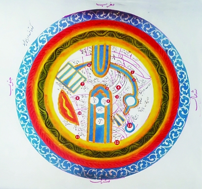
A world map made by Persian geographer in 11th century, which is now stored in the Library, Museum and Document Center of Iranian Parliament, offers evidence to support China’s claim in sea disputes. The part labelled as 11 on this map is identified as China Sea.
Ancient Persian maps were among one of the first batches of maps made by other countries that provided supplementary evidence to support China’s position in the South China Sea dispute, said Yao Jide, director of the Center for Iranian Studies at Yunnan University in Southwest China’s Yunnan Province.
After four years of sifting through and analyzing about 50 ancient Persian maps, the research team he led along with Mohammad Bagher Vosoughi from Department of History at University of Tehran, found that today’s South China Sea area was annotated as the “China Sea” or the “China Gulf” with some places annotated as “Chinese Island” on these maps made by ancient Persian and Arabic geographers, Yao said.
Made between the 10th century and 17th century, these maps were stored in the University Library of Tehran; the Library, Museum and Document Center of Iranian Parliament, and the National Archives of Iran. Yao began to cooperate with Vosoughi to sift through these maps in 2012.
Yao said that Persian and Arabic navigators played a dominant role on the maritime silk road connecting the Atlantic, the Indian Ocean and the Pacific, and a lot of Persian and Arabic travellers and geographers travelled with these advanced fleets.
Among them were many of the cartographers who created these maps, including Muhammad al-Idrisi (1100–1165) who first came up with the theory of seven climate regions, Yao said. These maps were made by the leading cartographers of the era, therefore it is reasonable that we give credit to the authoritativeness of these maps, at least among the maps of that time, he said.